Français
  Nederlands
  Español
 Caminito de Rey
Blog
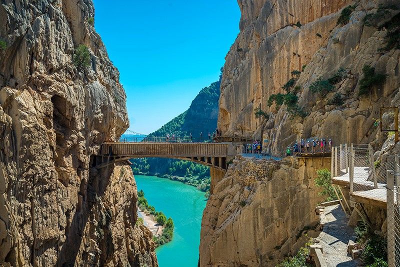
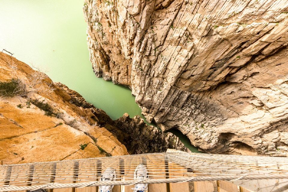
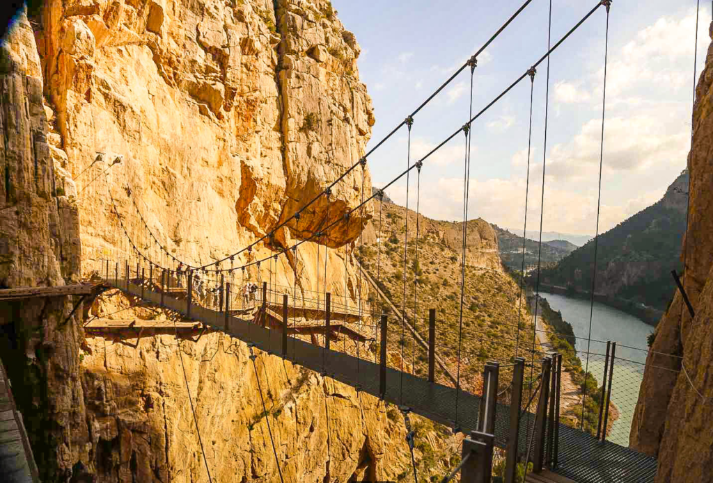
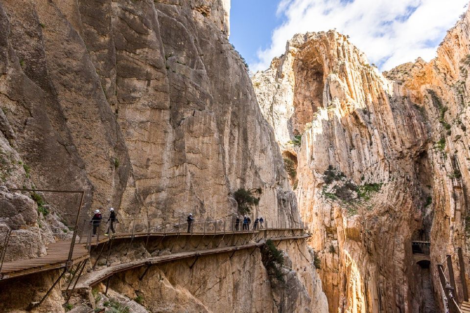
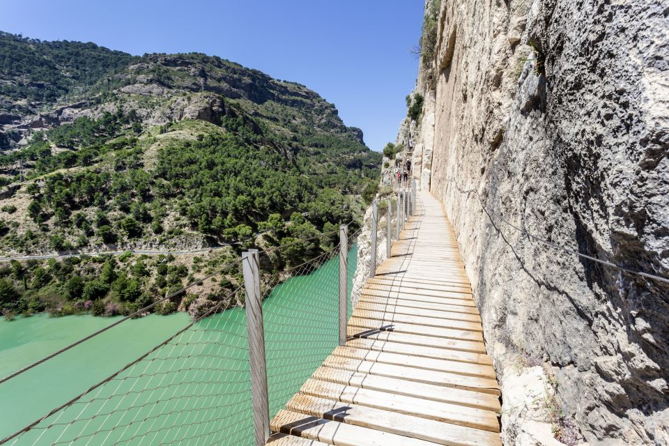
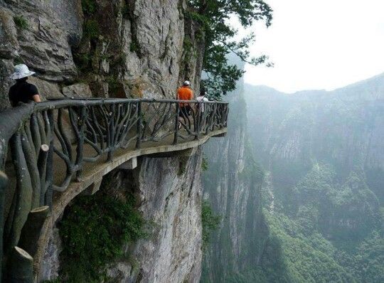
Raised almost 100 metres above the bottom of the gorge through which the River Guadalhorce flows, the Caminito de Rey was originally a small service road that crossed the Desfiladero de los Gaitanes on its right bank. It connected the small Gaitanejo water dam with the Jet hydroelectric jump.
This road, built at the beginning of the 20th century with a clearly functional mission, soon became part of the daily life of the inhabitants of El Chorro. Inaugurated in 1921 by King Alfonso XIII after the construction of the Chorro dam, later called the Count of Guadalhorce, it was used sometimes on foot, sometimes by cavalry and sometimes by bicycle by "children going to school, women to the grocery shop and men to the canteen".
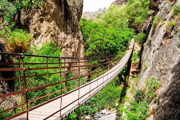
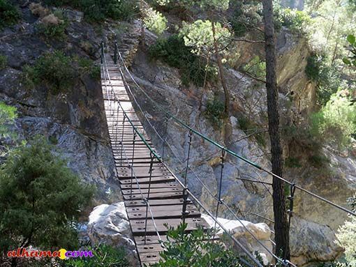
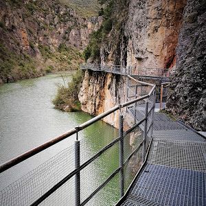
The total length of the Caminito del Rey is 7.7 km, of which 4.8 km are accesses and 2.9 km are footbridges. As far as the footbridges are concerned (the best known part), the distance between the entrance and the exit is 2.9 km, divided between 1.5 km of footbridges and 1.4 km of forest track.
This humble Caminito del Rey impossibly crosses the natural landscape Desfiladero de los Gaitanes, an impressive canyon opened up by the River Guadalhorce in limestone and dolomite, which has a total length of three kilometres, reaches heights of up to 300 metres and widths of less than 10. It is located in the centre of the province of Málaga, between the municipalities of Álora, Antequera and Ardales, where it is one of the most spectacular landscapes in the Málaga mountains.
Other information
The route of the Caminito del Rey is linear, not circular, so you must ensure your return to the starting point by your own methods. However, there is a shuttle service between the northern access (Ardales) and the south (El Chorro, Álora) or vice versa for a small fee (€0.94 or €1.55, depending on whether or not you have a Transport Consortium card...